Search

National TRAP Program

Marine debris removal efforts expand shallow water mapping data with NOAA

Ethan Smith | Virginia Institute of Marine Science

July 14, 2026


CLICK TO READ – W&M’s VIMS & Batten School partner with NOAA to expand access to shallow water mapping data in the Chesapeake Bay

bathymetry_in-text-1
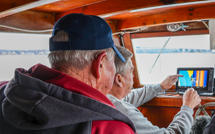
E.C. Hogg (front) and Ralph Bonniville (back) are TRAP participants who gather bathymetric data. Photo credit: John Wallace.

Article excerpts:

A new partnership between William & Mary’s VIMS & Batten School and the National Oceanic and Atmospheric Administration (NOAA) turns routine vessel operations and lost crab trap removal into a new source of valuable bathymetric data.

The TRAP Program aims to remove derelict fishing gear from U.S. coastal waters. In the Chesapeake Bay and along Virginia’s Eastern Shore, the Center for Coastal Resources Management (CCRM) outfits commercial fishers with side-scan sonar equipment to find and remove derelict crab traps during the offseason. This work provides watermen with an additional source of income while also advancing debris-removal efforts and generating valuable bathymetric data.
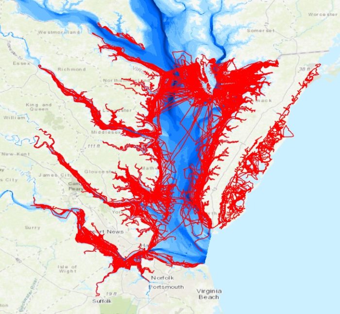
The data generated by VIMS & the Batten School and their TRAP partners is being processed and released in batches, and will be publicly available through NOAA’s National Centers for Environmental Information Bathymetric Data Portal. The new dataset can be accessed by researchers, agencies and coastal managers and can be used to enhance navigational safety to support commerce.

bathymetry_in-text-2
A boat track line map showing where bathymetry data was recorded by commercial fishers during derelict trap removal efforts in Virginia. Photo credit: CCRM.